Background Information
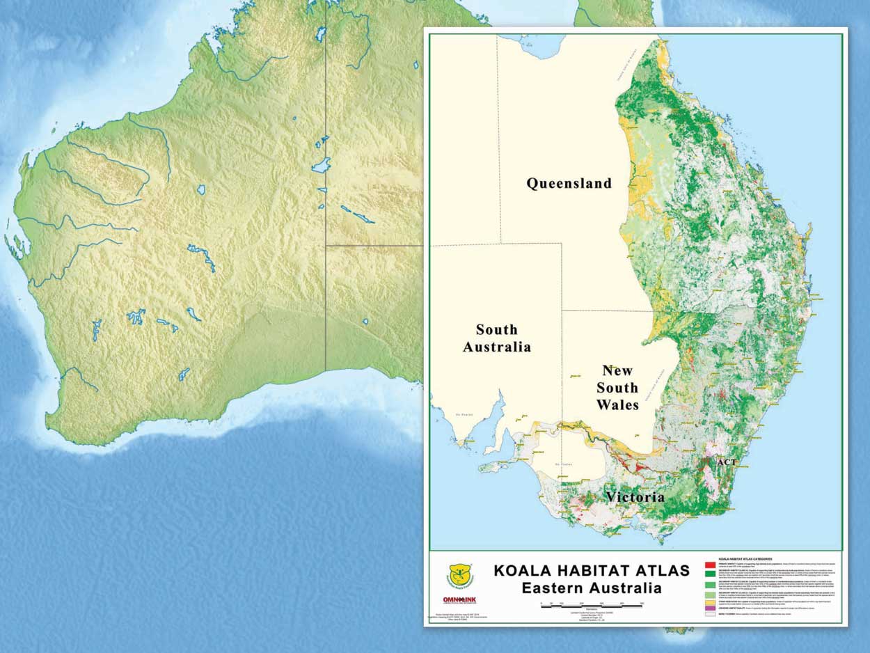
The Koala Habitat Atlas is the spearhead that encapsulates the Australian Koala Foundation’s prime objective—conservation of Koalas in the wild—using Geographic Information System (GIS) technology. Habitat that Koalas need to survive is identified, mapped and ranked to give land-use planners this vital information in a practical format.
The Koala Habitat Atlas provides the information and the means to argue more effectively for conservation. It also compliments the AKF’s other activities of pure research, education, information dissemination and the establishment of Koala conservation zones.
Since white settlement in Australia, 80 per cent of the Koala’s natural habitat has been destroyed and much of the remaining 20 per cent occurs on privately owned land. With increasing pressure on this ‘prime real estate’ for development (housing, forestry, mining, agriculture), it is fundamentally important to have information available on where Koala habitat occurs so that compelling arguments based on facts can be put forward to plea for its protection.
The Koala Habitat Atlas has been designed to illustrate the results of enormous amounts of data collected from tens of thousands of trees. It has made the process of mapping such vast areas simpler and quicker than was previously possible with traditional survey methods because of the GIS’s ability to predict and model data.
Unlike other projects that map the location of individuals within a species, the Koala Habitat Atlas can show us where suitable Koala habitats occur even when the animals are not present. This leaves potential for them to be restocked in the future.
Read more about the Koala Habitat Atlas here.

Where is the map up to and where are we going?
As of 2018 the KHA is complete for the Koala’s 1.5 million square kilometre geographic range, covering 149 Local Government Areas (LGAs) in New South Wales, 53 LGAs in Queensland, 86 LGAs in Victoria, 48 LGAs in South Australia, plus the ACT and the Jervis Bay Territory.
A selection of AKF Koala Habitat Atlases:
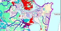
 Noosa Koala Habitat Atlas (600kb)
- City of Ballarat Koala Habitat Atlas (1000kb)
- Port Stephens LGA Koala Habitat Atlas (400kb)
Maps Copyright Australian Koala Foundation. These maps have been reduced in size to A4 for easy web viewing and printing, therefore causing some loss of detail. To obtain full size and resolution versions of these maps, or for more information contact akf@savethekoala.com
The Koala Habitat Atlas was designed with specific issues of scale in mind. Because remaining Koala habitat occurs predominately on private land, it is necessary to plan at local government level down to individual properties for habitat protection, taking regional planning into account.
For more information email us or call 61 (07) 3229 7233
The Spot Assessment Technique
- Spot Assessment Technique (.pdf file)
- Phillips et al 2000 Port Stephens (.pdf file)
- Phillips and Callghan 2000 Campbelltown (.pdf file)
The Spot Assessment Technique (SAT) was developed by the Australian Koala Foundation in 1995 to provide important tools for conservation planning and management, and underpins the Koala Habitat Atlas. The SAT has been used at 2,000 sites collecting data on 100,000 trees.
The SAT identifies Koala tree species preferences, allowing us to identify critical habitats for conservation planning. Vegetation communities can be ranked in order of importance, on the basis of the proportion of preferred tree species present, and this information is used to inform the Koala Habitat Atlas. It is important to note that the SAT does not attempt to predict the abundance or density of local Koala populations.


